

Trail with water
Hiking trails in the municipality of Boñar
Trail with water
Hiking Trails
Trail with water
Boñar is water! Boñar is life!
Boñar is pure water, all year round!
Discover Boñar
Through its waters.
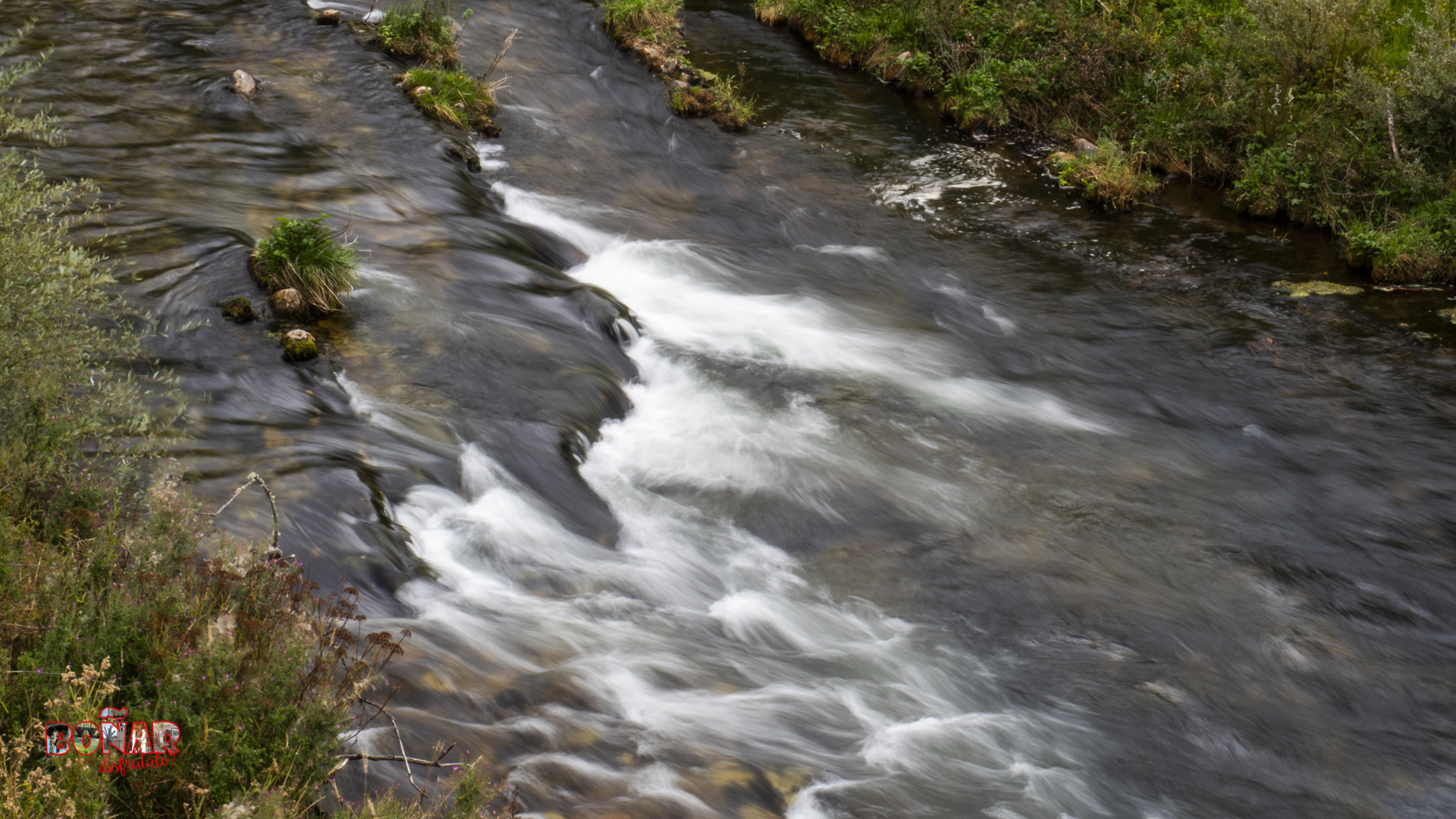
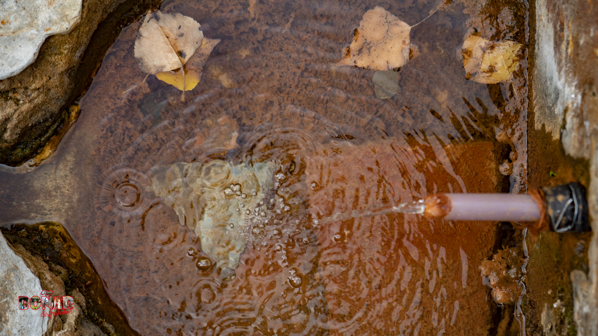
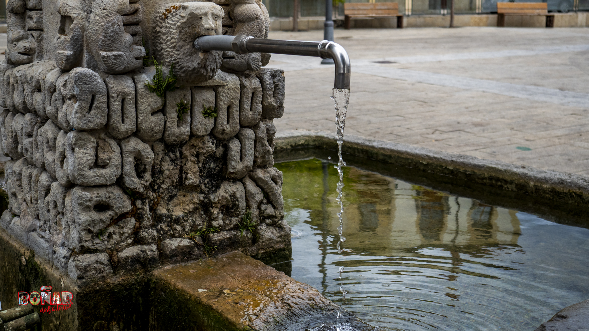
Boñar is the place where water flows the most, and for this reason this urban trail has been created to highlight the value of one of our most precious resources, WATER.
After a long research work, carried out by our neighbour Lorenzo Calvo Población, who registered all the water resources of the whole municipality.
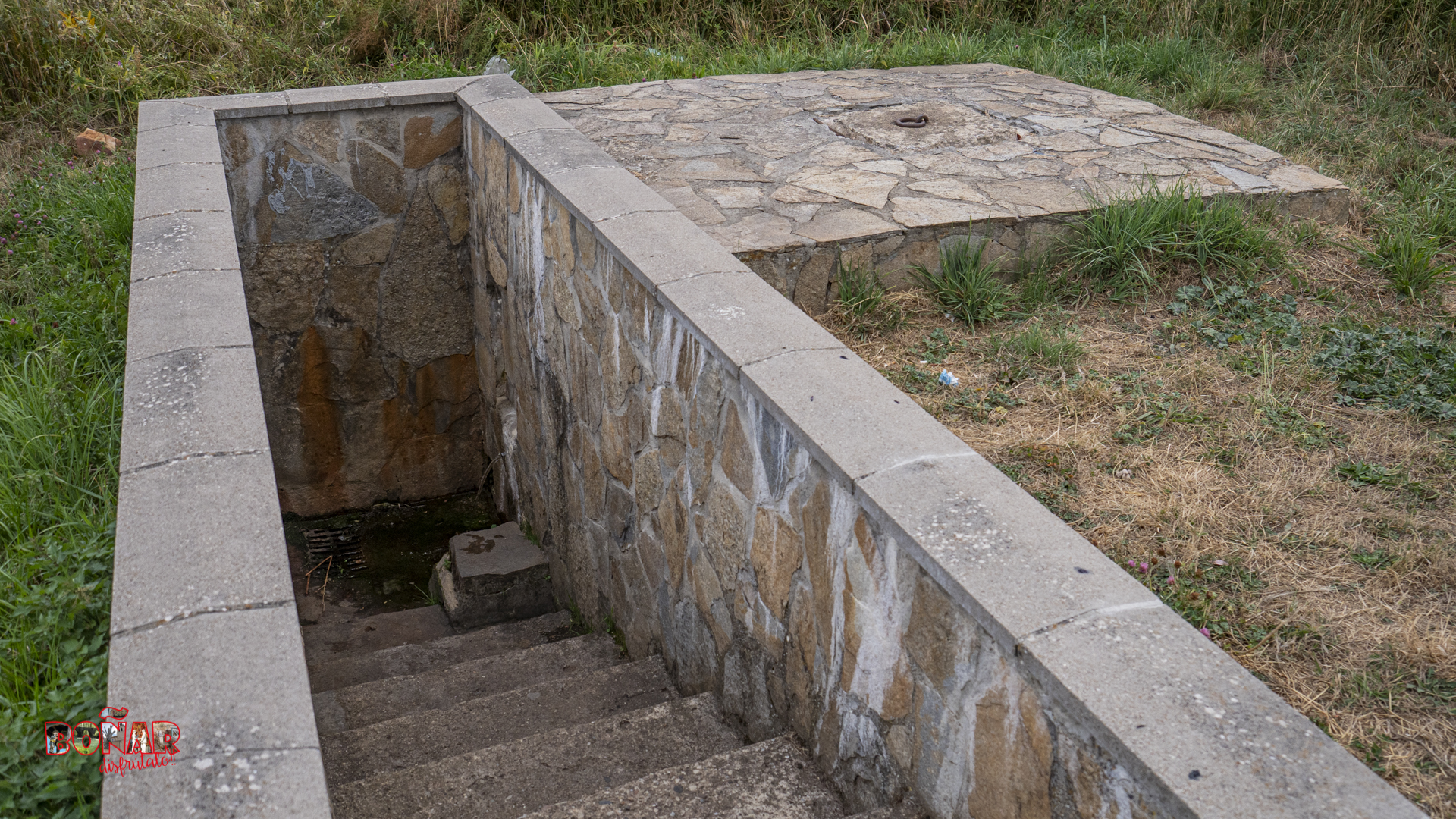
Along the trail, visitors can discover fountains, spouts, streams, bridges and water reservoirs. All of them show the importance of water in the town of Boñar. All of them show the importance of water in the town of Boñar.
Ruta del Agua (Video with sound)
Check the weather before you go…
Trail Information
The most precious commodity, water!
Trail with Water
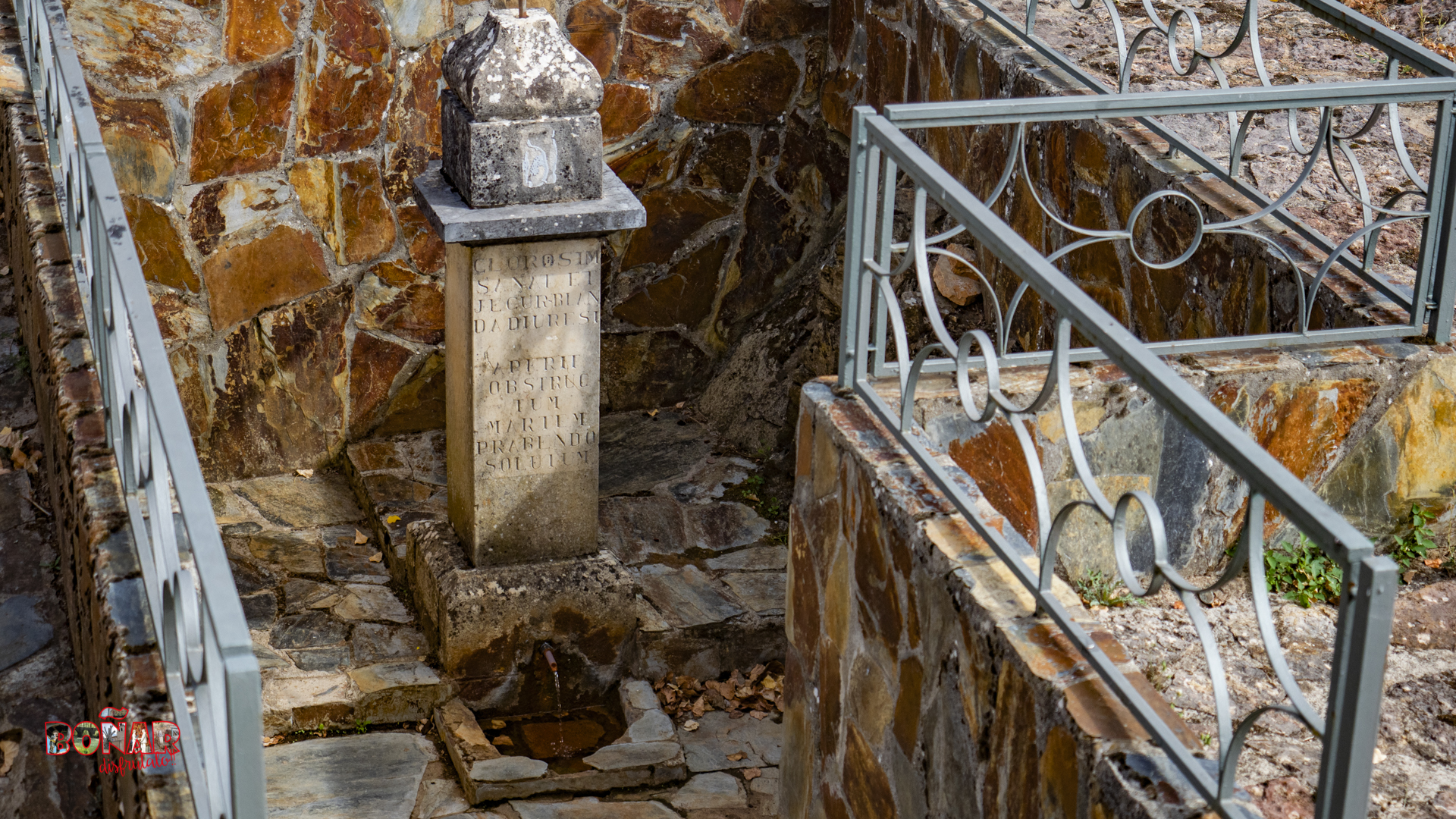
The trail’s points of interest:
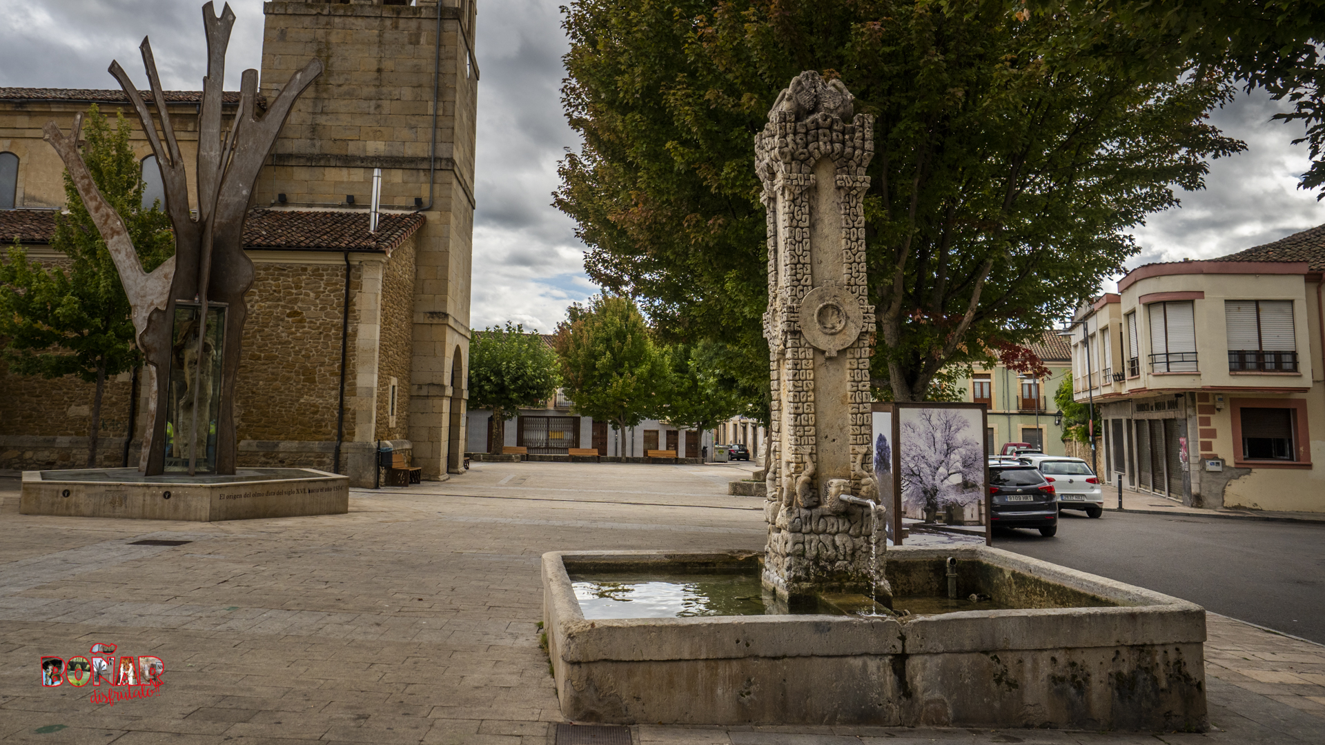
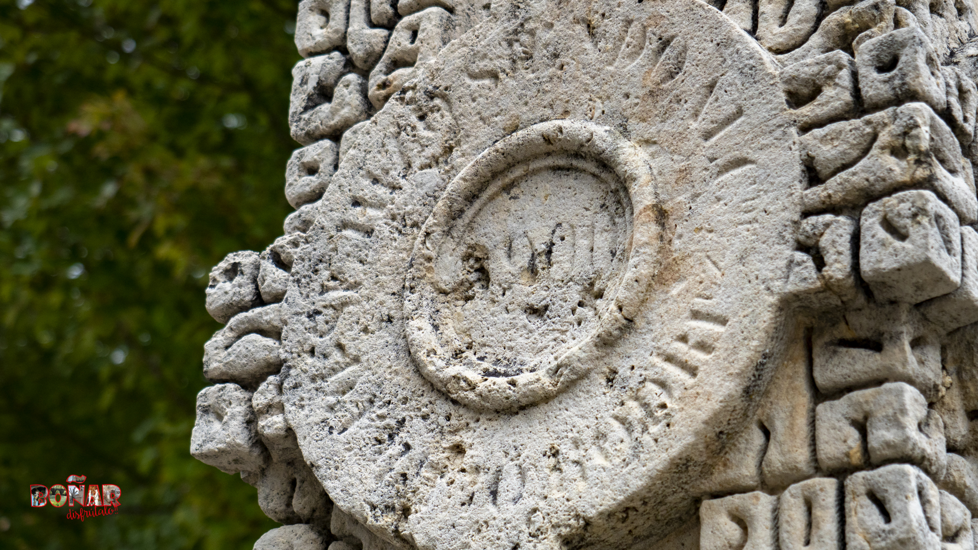
- (1º) 1. El Caño, Plaza El Negrillón, (1900).
- (2º) 2. Boñar Tourist Office.
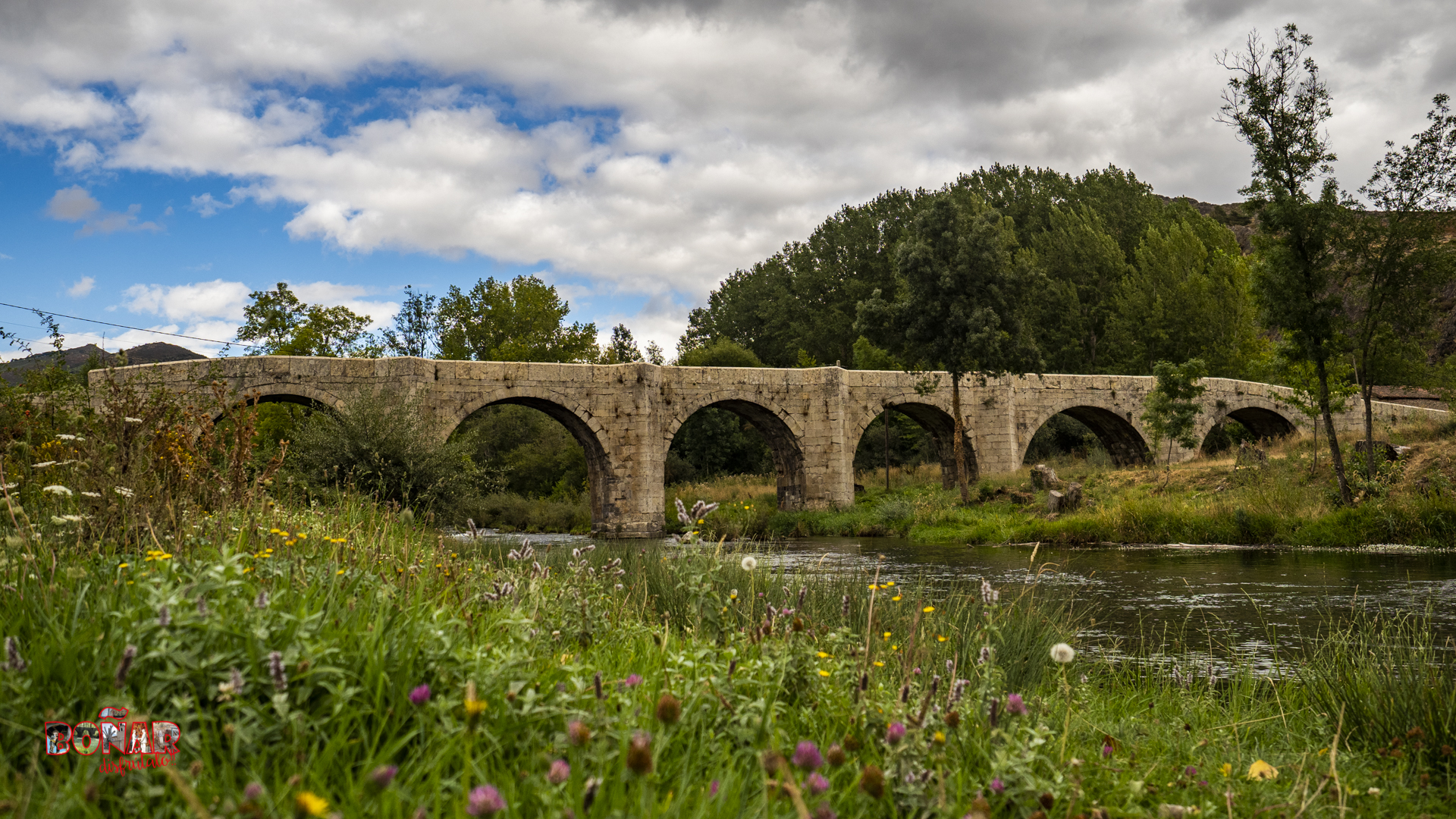
- (3º) 10. Bridge 2 over Arroyo del Arbejal stream.
- (4º) 12. El Corcho bridge.
- (5º) 13. Uptake for El Corcho and La Corredera springs.
- (6º) 15. Bridge, (1825).
- (7º) 16. El Alfolí Fountain.
- (8º) 17. La Corredera Fountain.
- (9º) 20. La Salud Fountain.
- (10º) 23. Pormaventura.
- (11º) 24. Kayak Pico Azul.
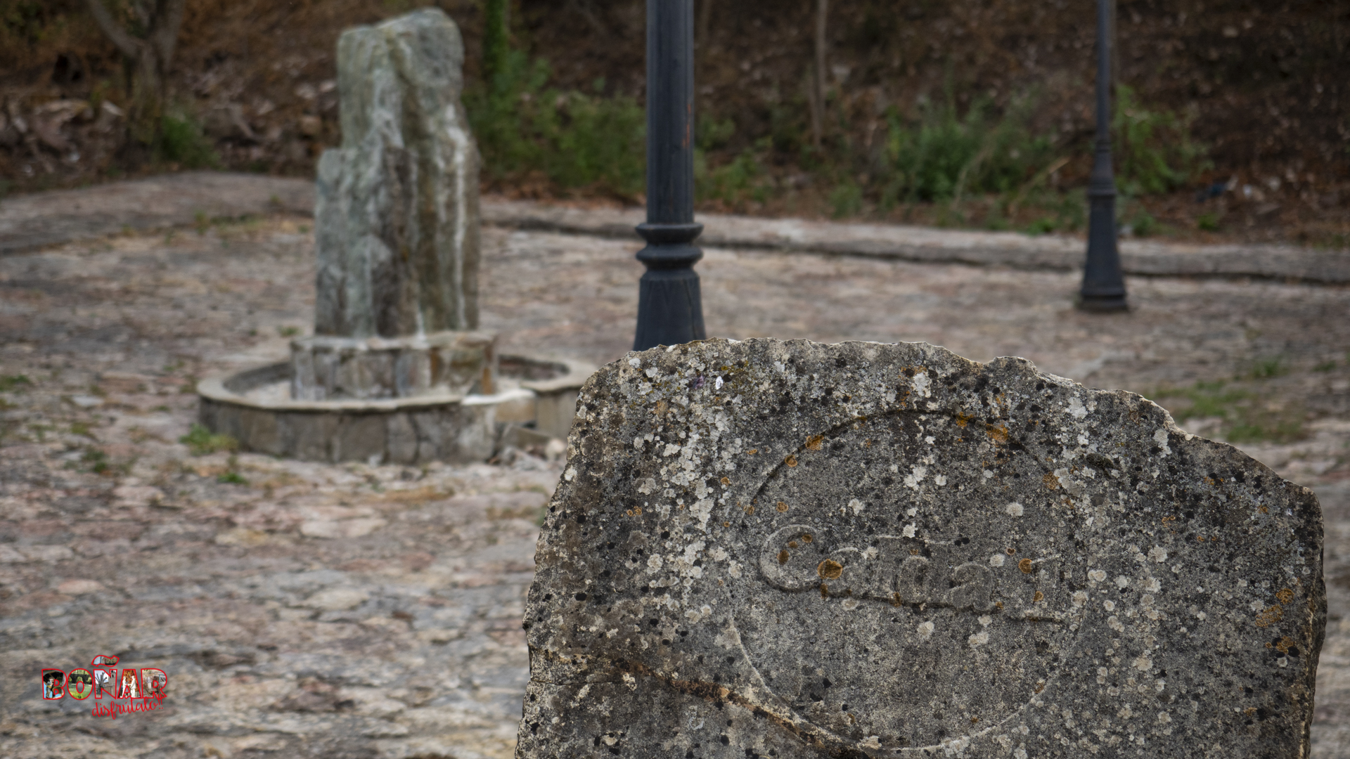
- (12º) 25. Calda 2.
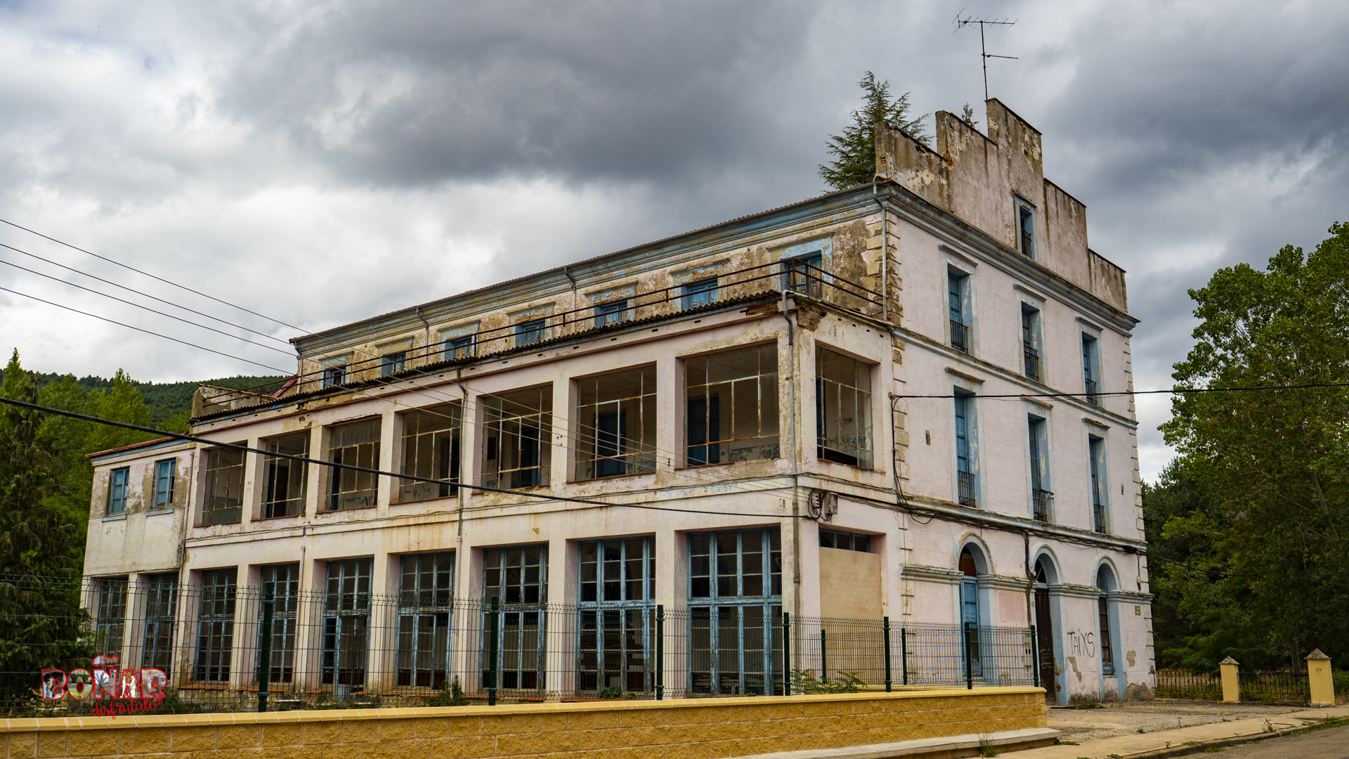
- (13º) 26. Agustinos Building.
- (14º) 27. Calda 1.
- (15º) 28. Hotel Spa.
- (16º) 29. Dams of El Soto.
- (17º) 30. San Pedro Old Bridge.
- (18º) 31. Porma River.
- (19º) 22. Electricity factory 1.
- (20º) 35. Boñar Swimming Pools.
- (21º) 36. Fountain at the entrance to El Soto.
- (22º) 38. Presa del Soto.
- (23º) 37. El Soto Mill.
- (24º) 39. Irrigation Community Dam.
- (25º) 51. Plaza del Negrillón.
Type of trail:
Circular.
Starting point:
El Soto de Boñar.
Arrival point:
El Soto de Boñar.
Approximate duration:
Aprox. 3,5 hours.
Slope:
273 meters.
Type of trail:
Urban and forest track.
Recommended activity:
Pedestrian and cycling.
Difficulty:
Moderate.
Recommended time of year:
All year round, except with snow.
Maximum altitude:
1241 meters.
Minimum altitude:
971 meters..
The trail in photos


When you put your hand in a flowing stream, you touch the last of what has passed and the first of what is to come!
– Leonardo da Vinci.
Explore other great hiking trails here!!
PRC-LE 55
Ascensión a Pico Cueto
PRC LE-56
Por el Río Porma
PRC-LE 57
Las Ermitas
PRC-LE 58
Adrados to vozmediano
PRC-LE 59
Por Valdehuesa
SL-LE 1
Cascada de Foces
SL-LE 2
Cota del Campillo
SL-LE 3
Literary Hike – Rucayo to Utrero
SL-LE 4
La ermita de san pelayo
SL-LE 5
C. tradicional – Veneros a Llama
SL-LE 6
Ruta por el Pinar de Villares
Trail with Water
Trail with Water