

PRC-LE 55 – Ascensión a Pico Cueto
Hiking trails in the municipality of Boñar
Ascensión a Pico Cueto
Hiking Trails
PRC-LE 55 – Ascensión a Pico Cueto
Check the weather before you go…
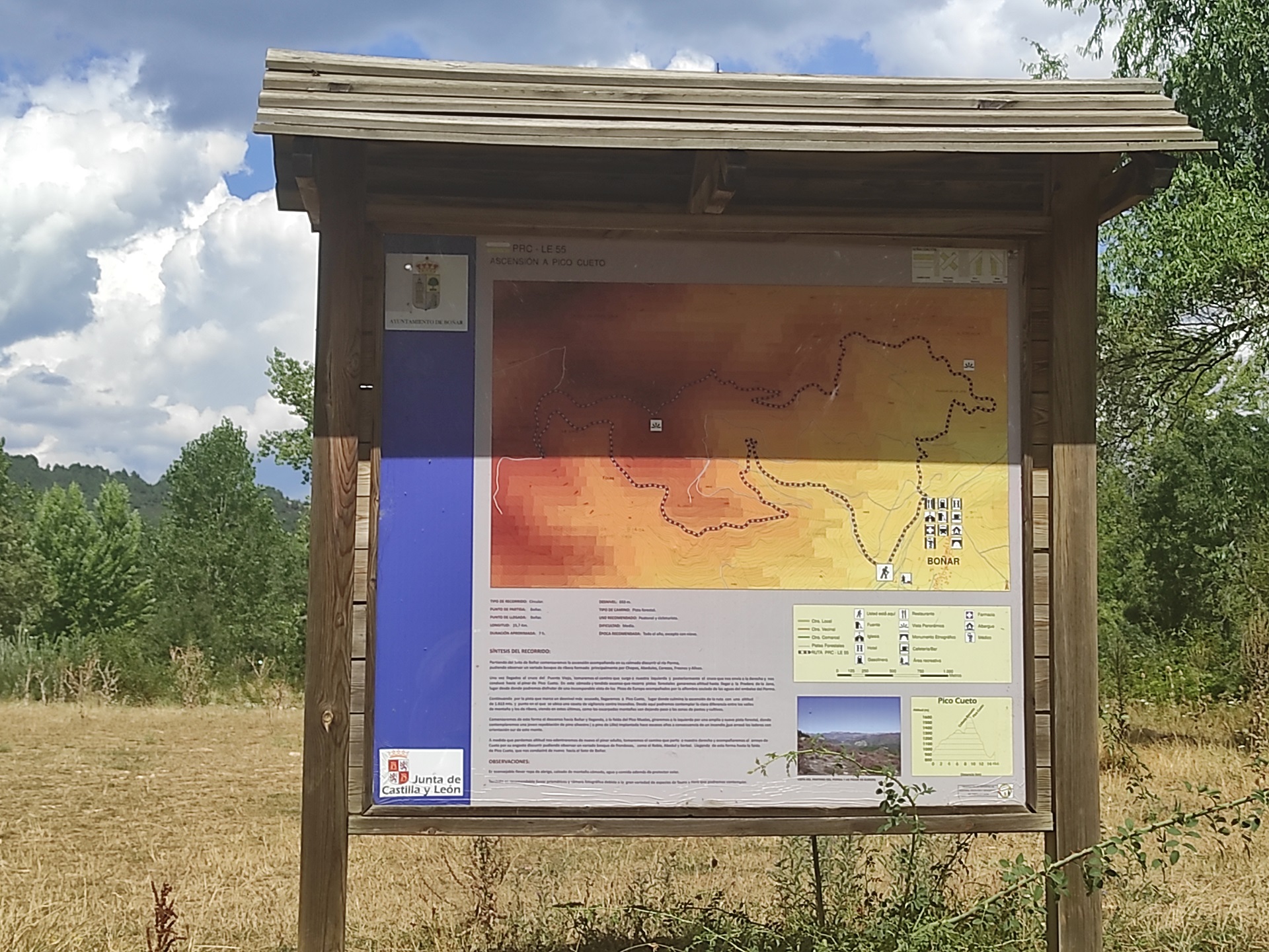
Trail Information

Type of trail:
Circular.
Starting point:
Soto de Boñar.
Arrival point:
Soto de Boñar.
Approximate duration:
Aprox. 7 hours.
Slope:
653 metres.
Type of trail:
Forest trail.
Recommended activity:
Pedestrian and cycling.
Difficulty:
Moderate.
Recommended time of year:
All year round, except with snow.
Maximum altitude:
1071 meters.
Minimum altitude:
971 meters.
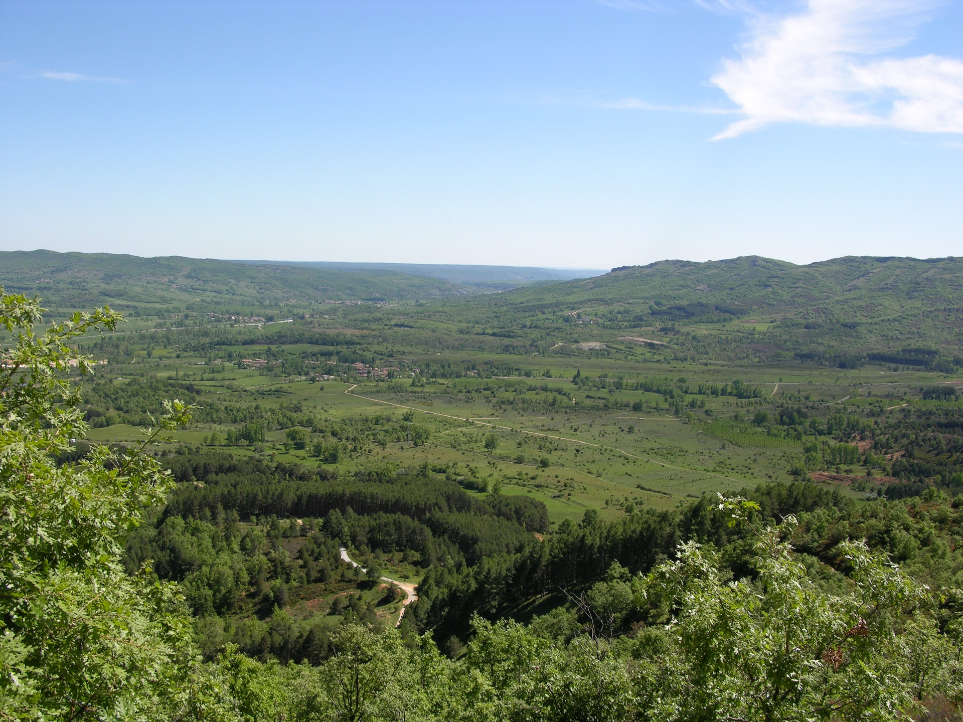
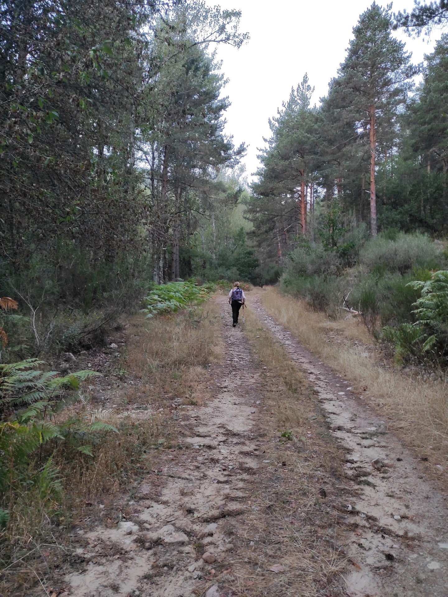
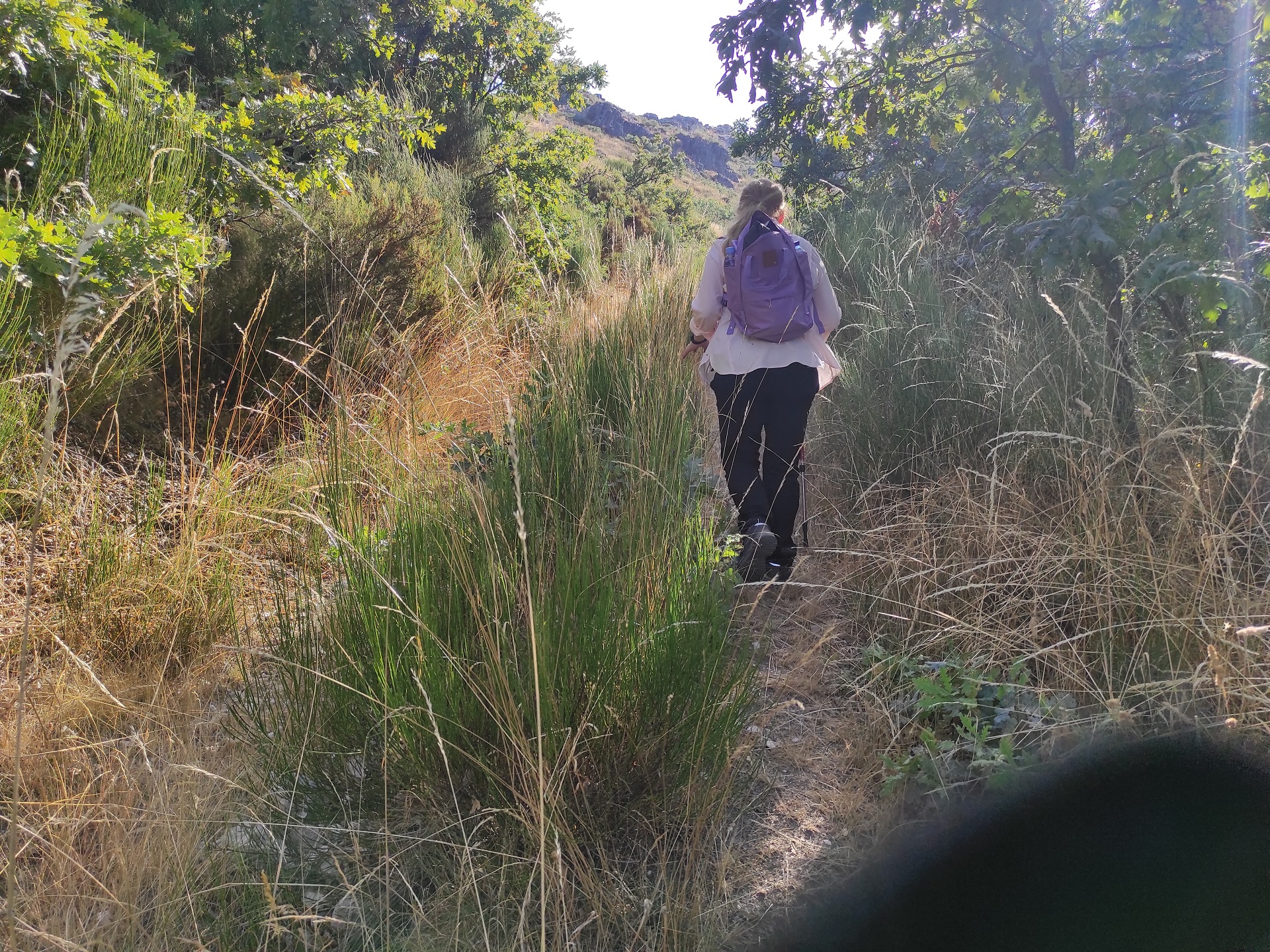
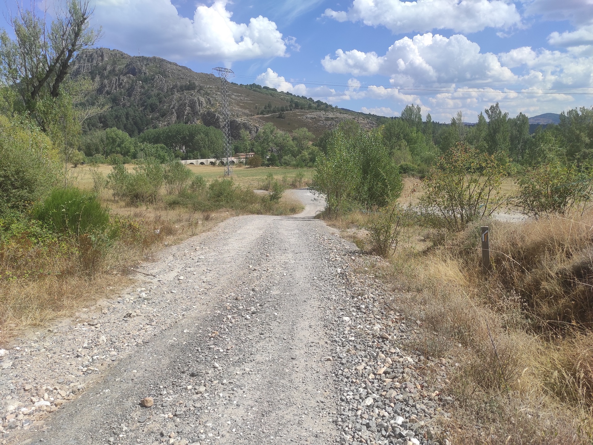
Starting from Soto de Boñar, you will begin the ascent following the calm flow of the river Porma, where you can observe a diverse riverside forest made up mainly of poplars, birches, cherry trees, ash trees and alders.
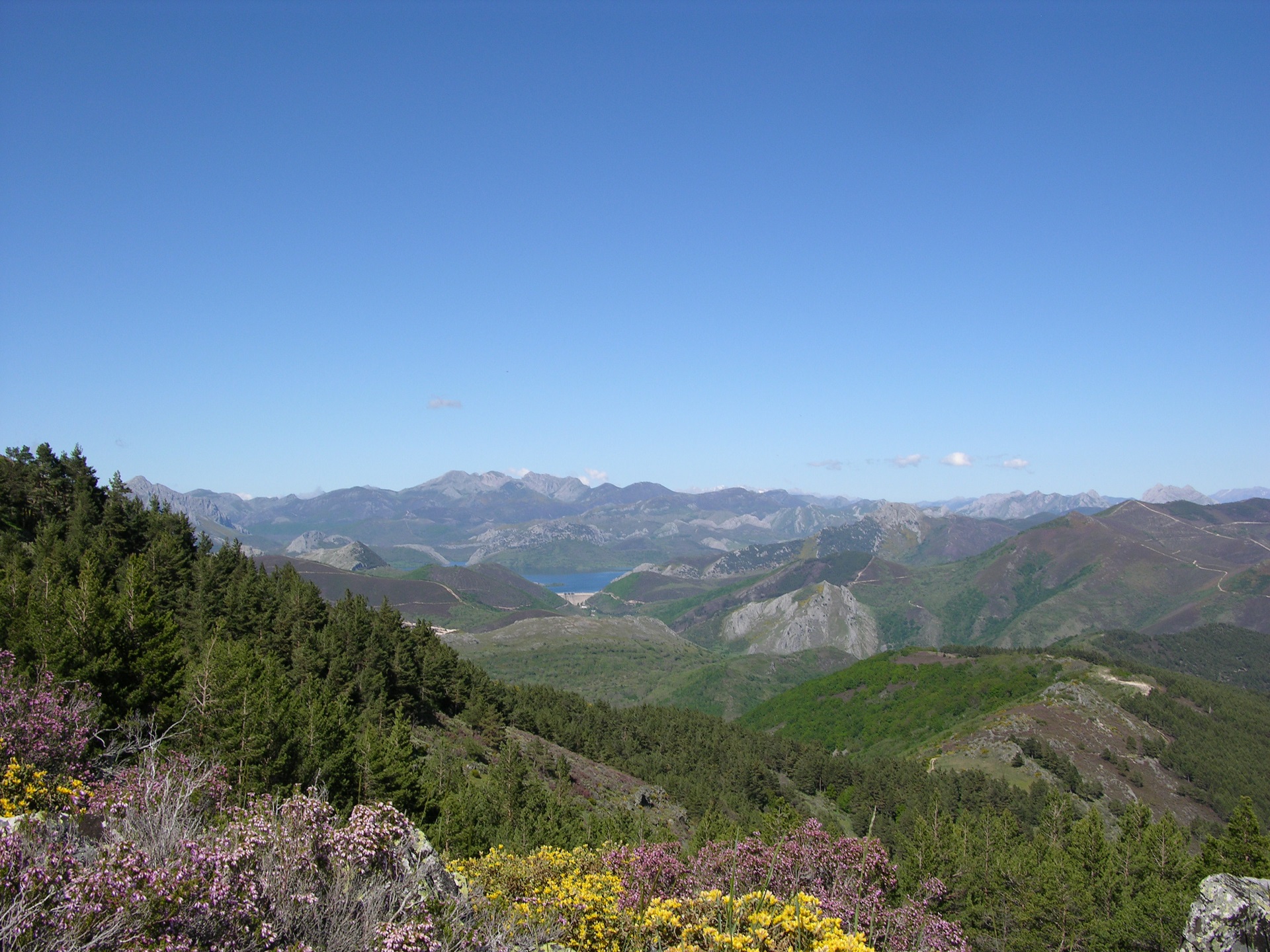
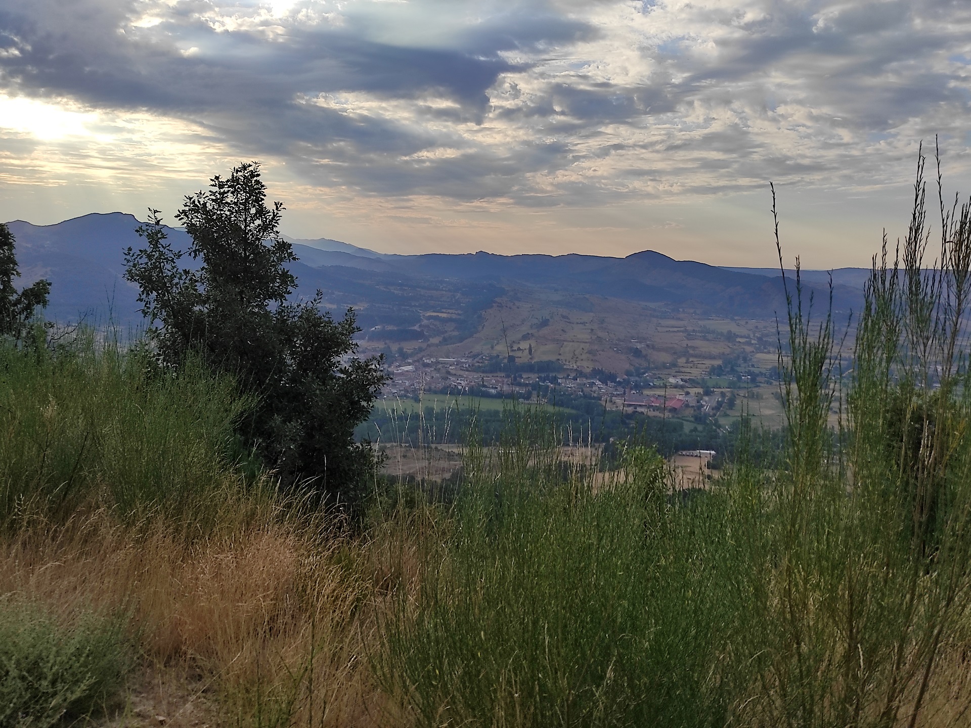
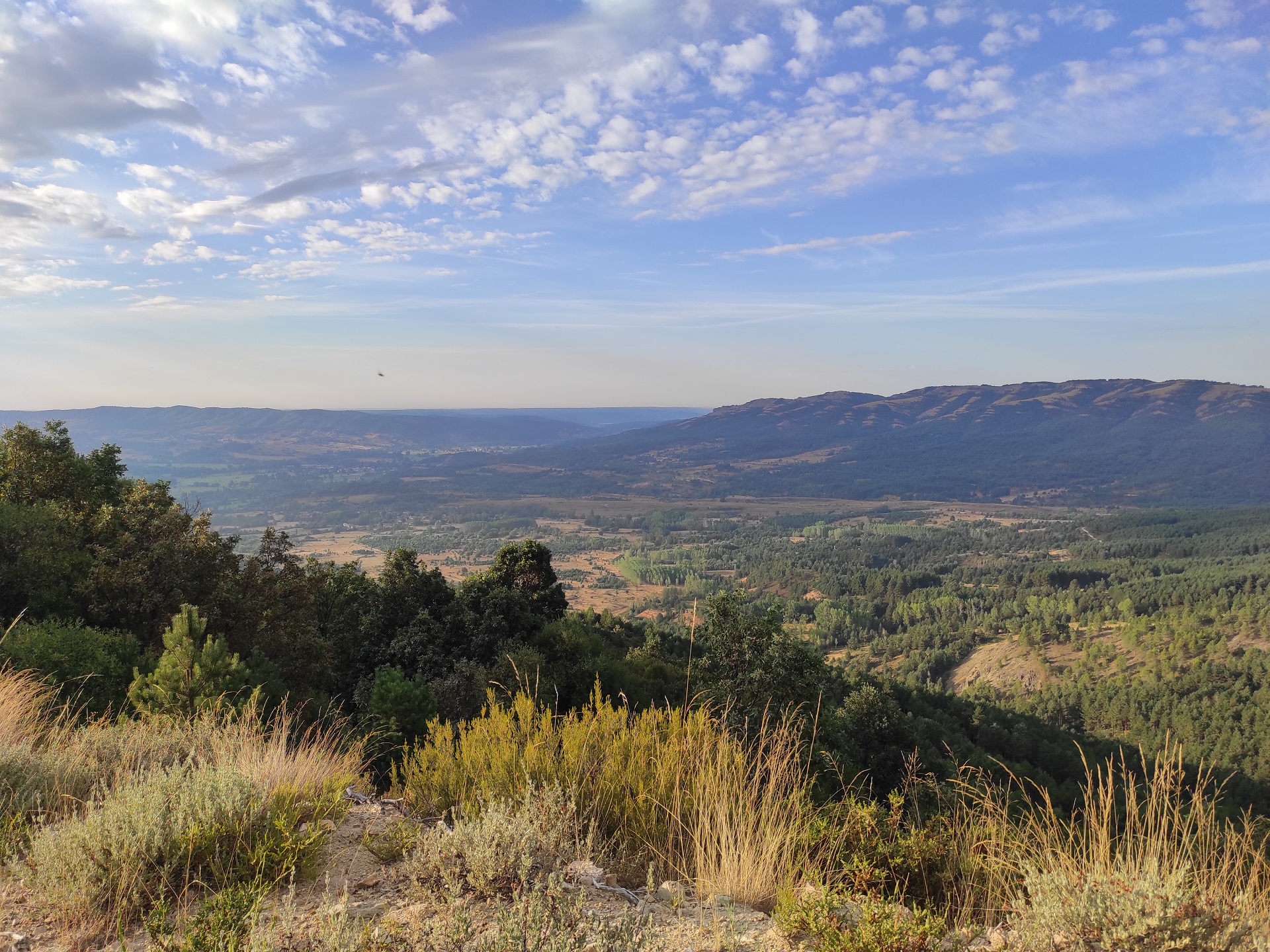
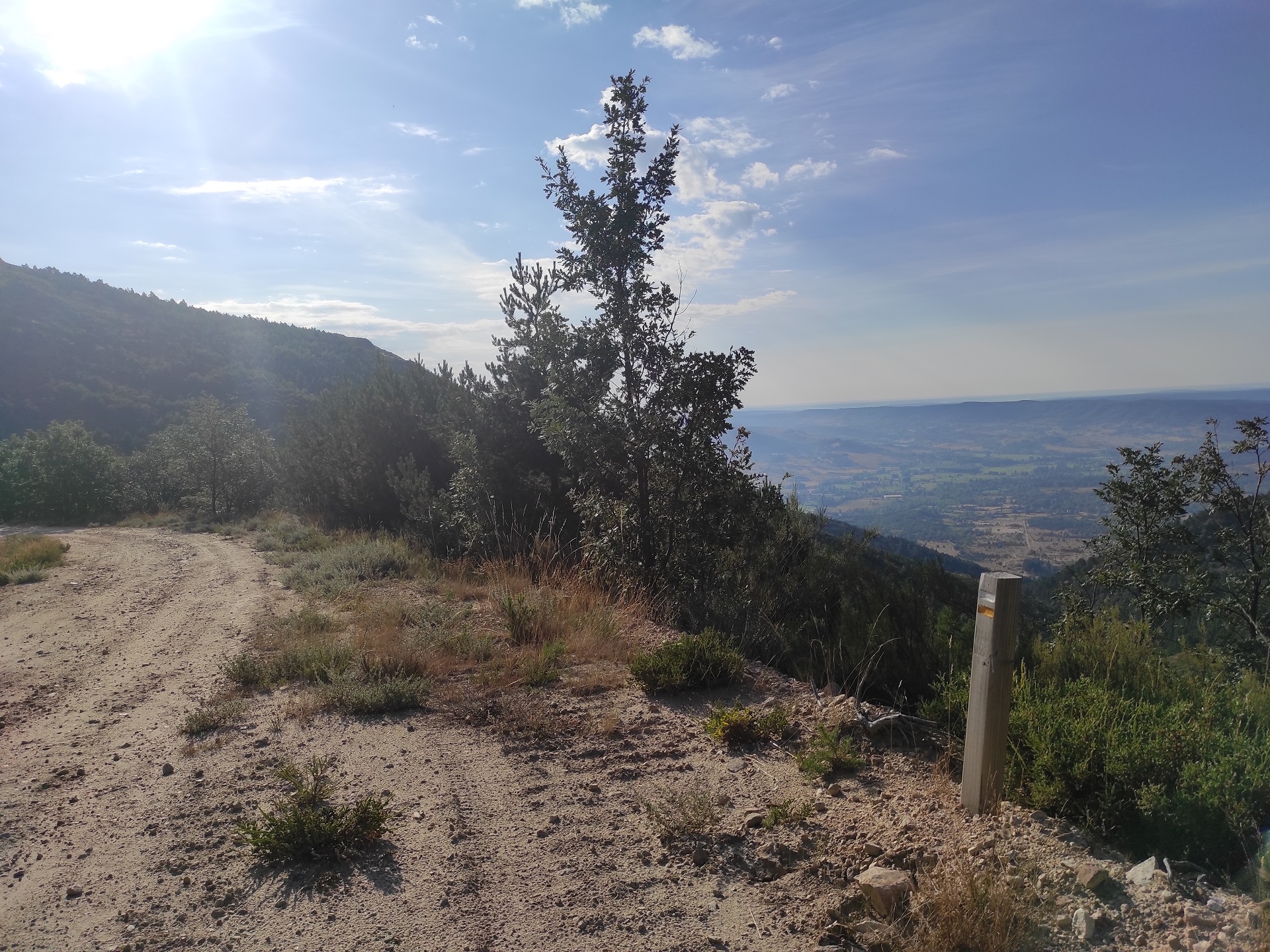
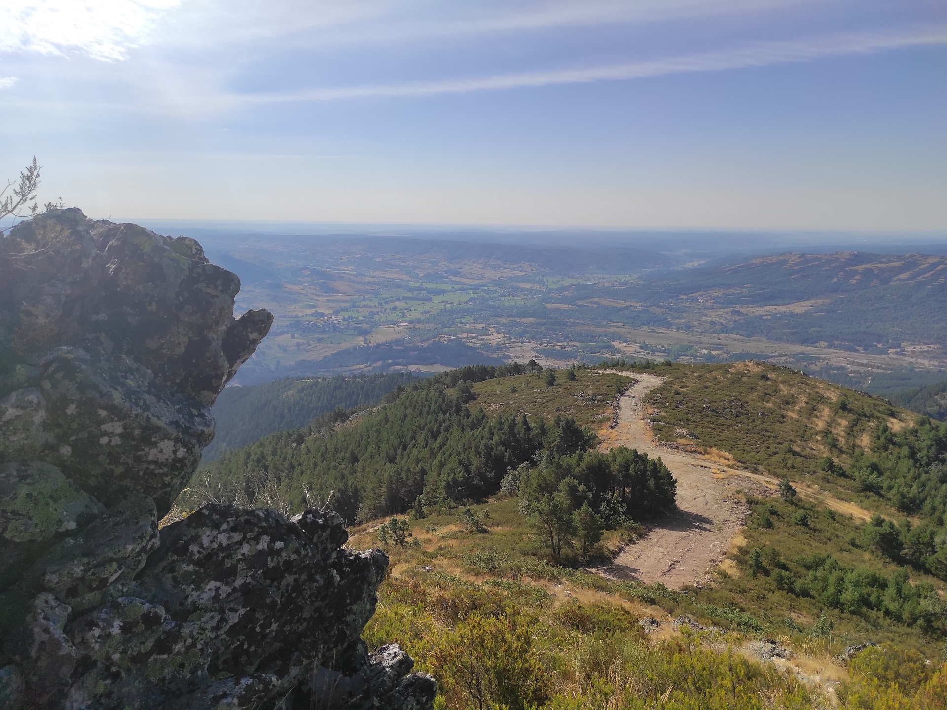
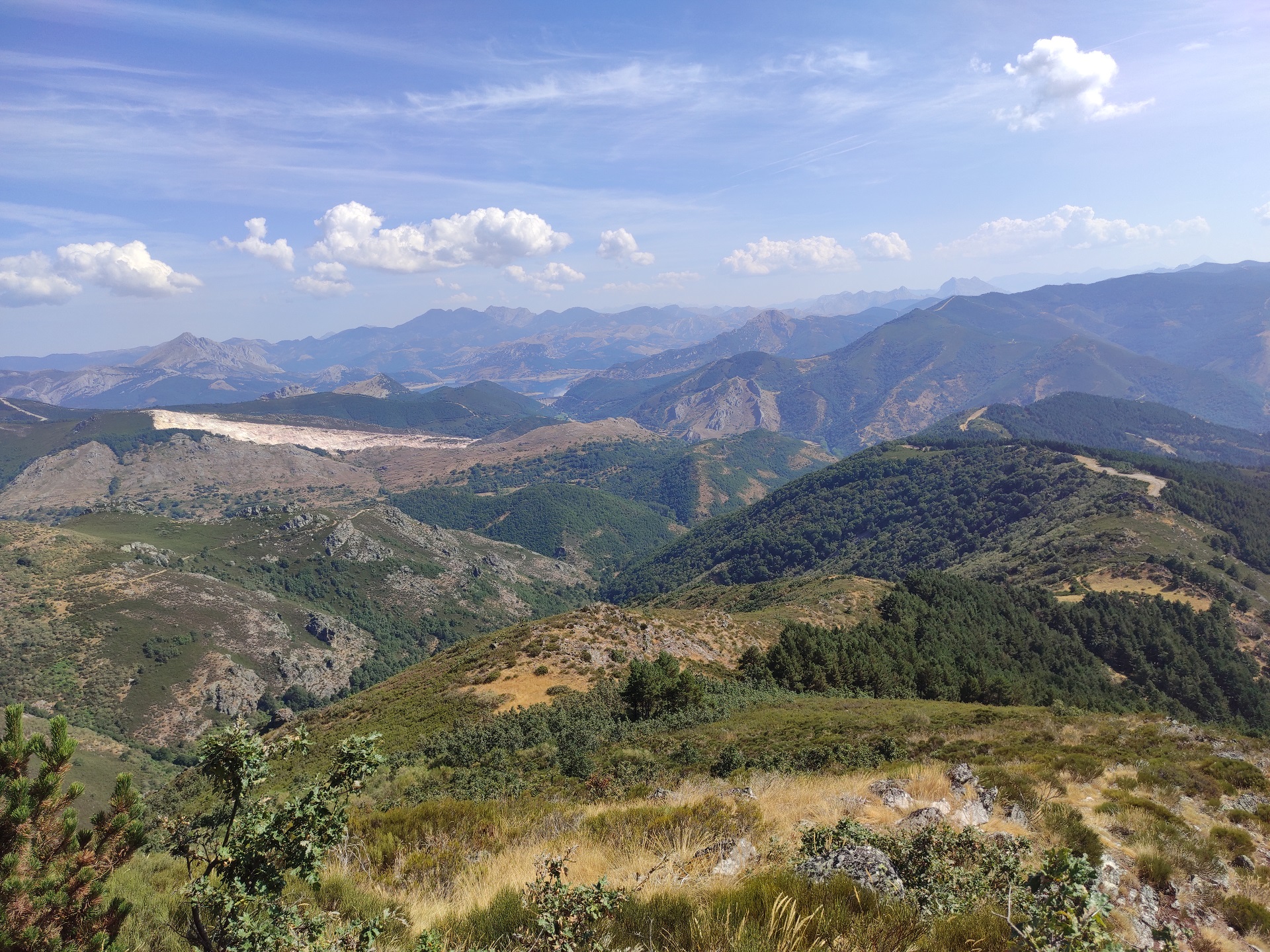
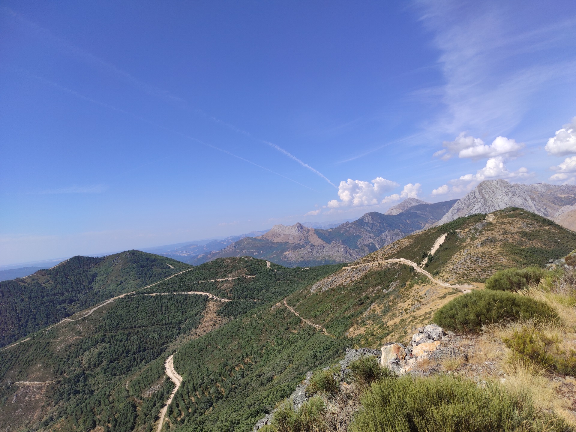
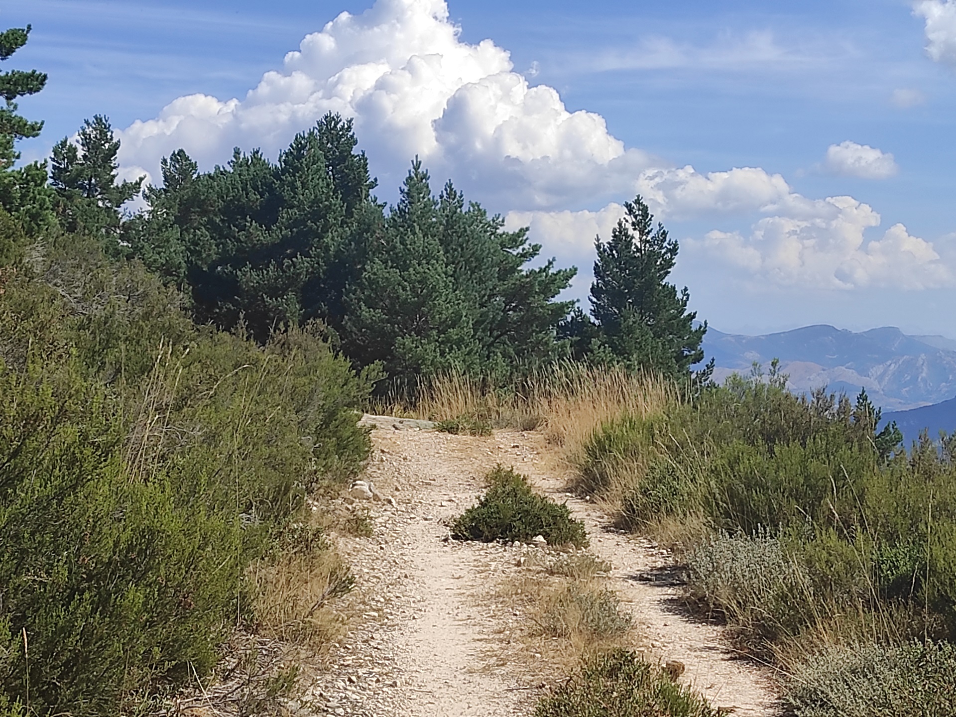
Once you reach the Puente Viejo crossroads, take the path that emerges on your left and then the crossroads that sends you to the right and leads to the Pico Cueto pine forest. On this comfortable and easy ascent along forest slopes you will gain altitude until you reach the Pradera de la Jana, a place from where you can enjoy an incomparable view of the Picos de Europa overlooking the bluish blanket of the waters of the Porma dam.
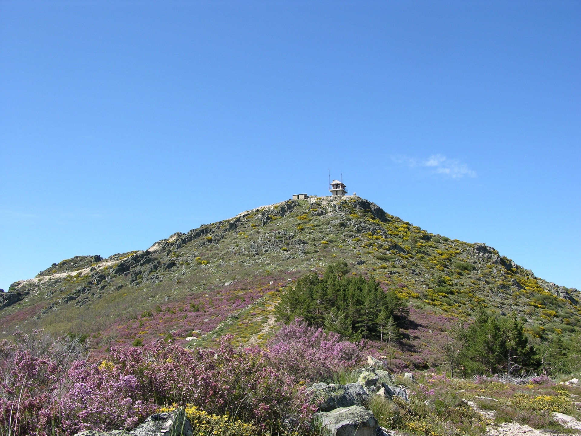
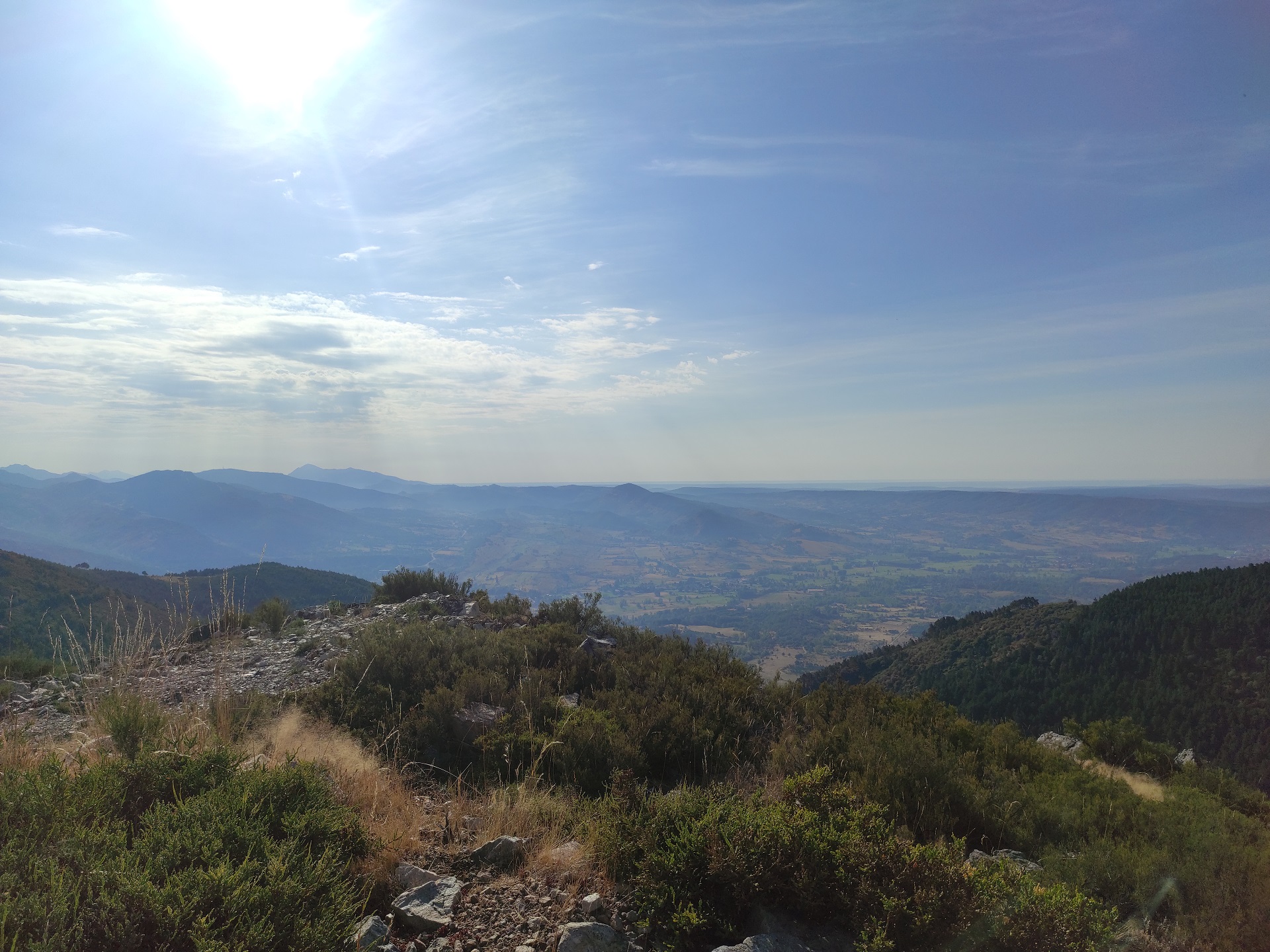
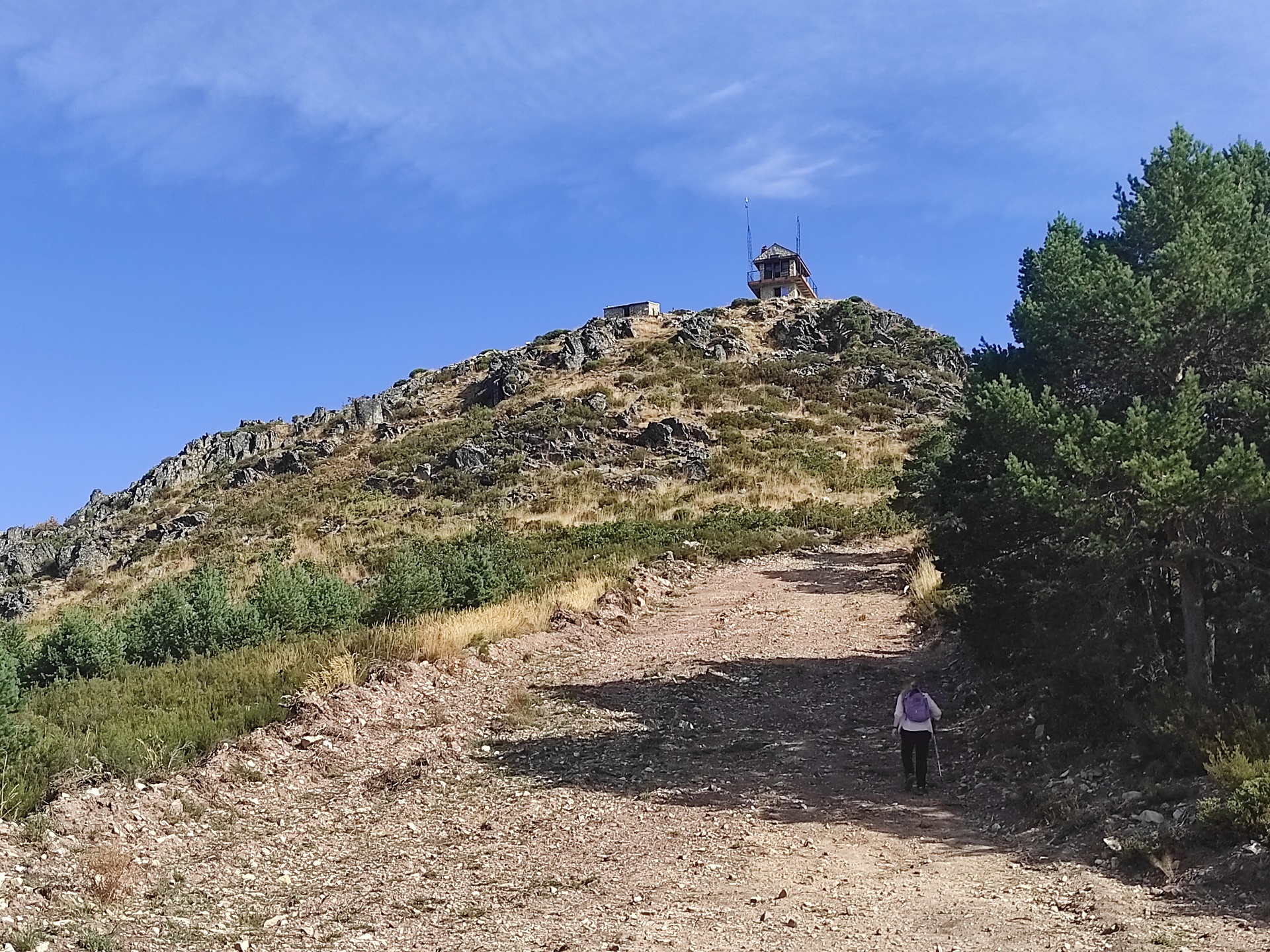
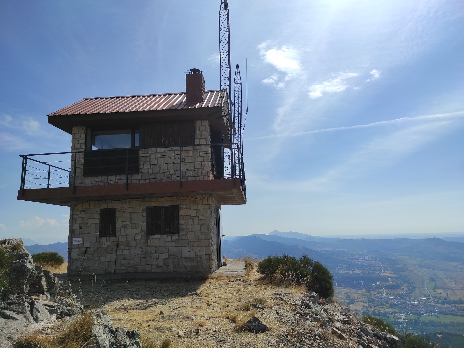
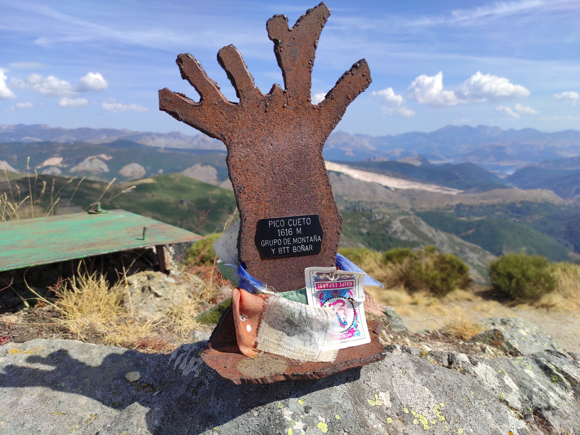
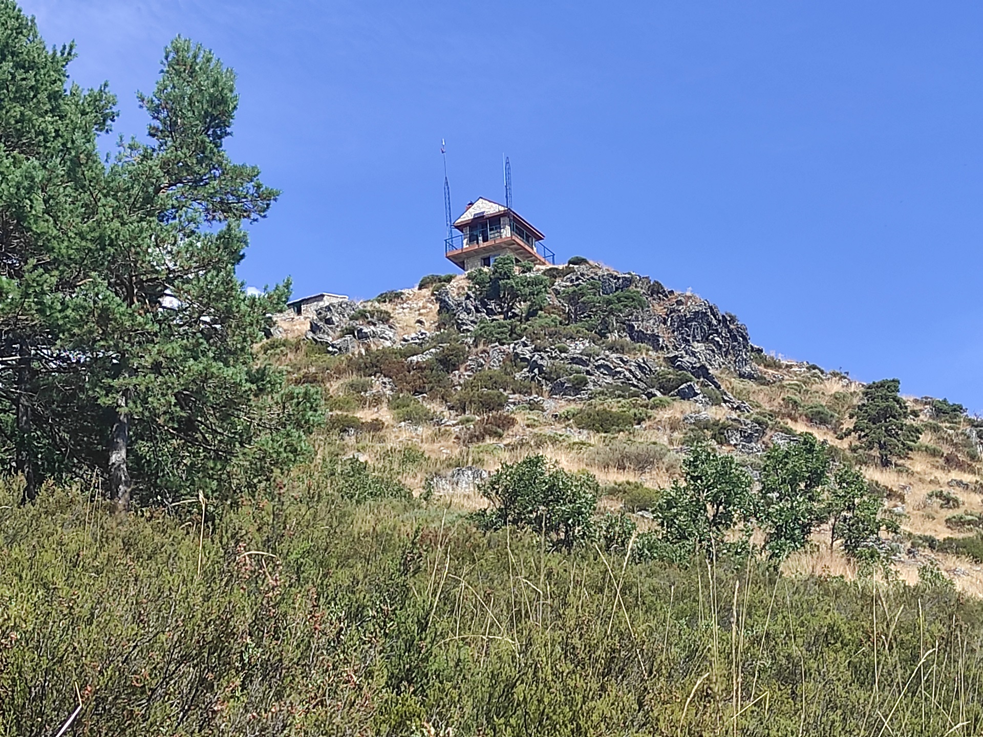
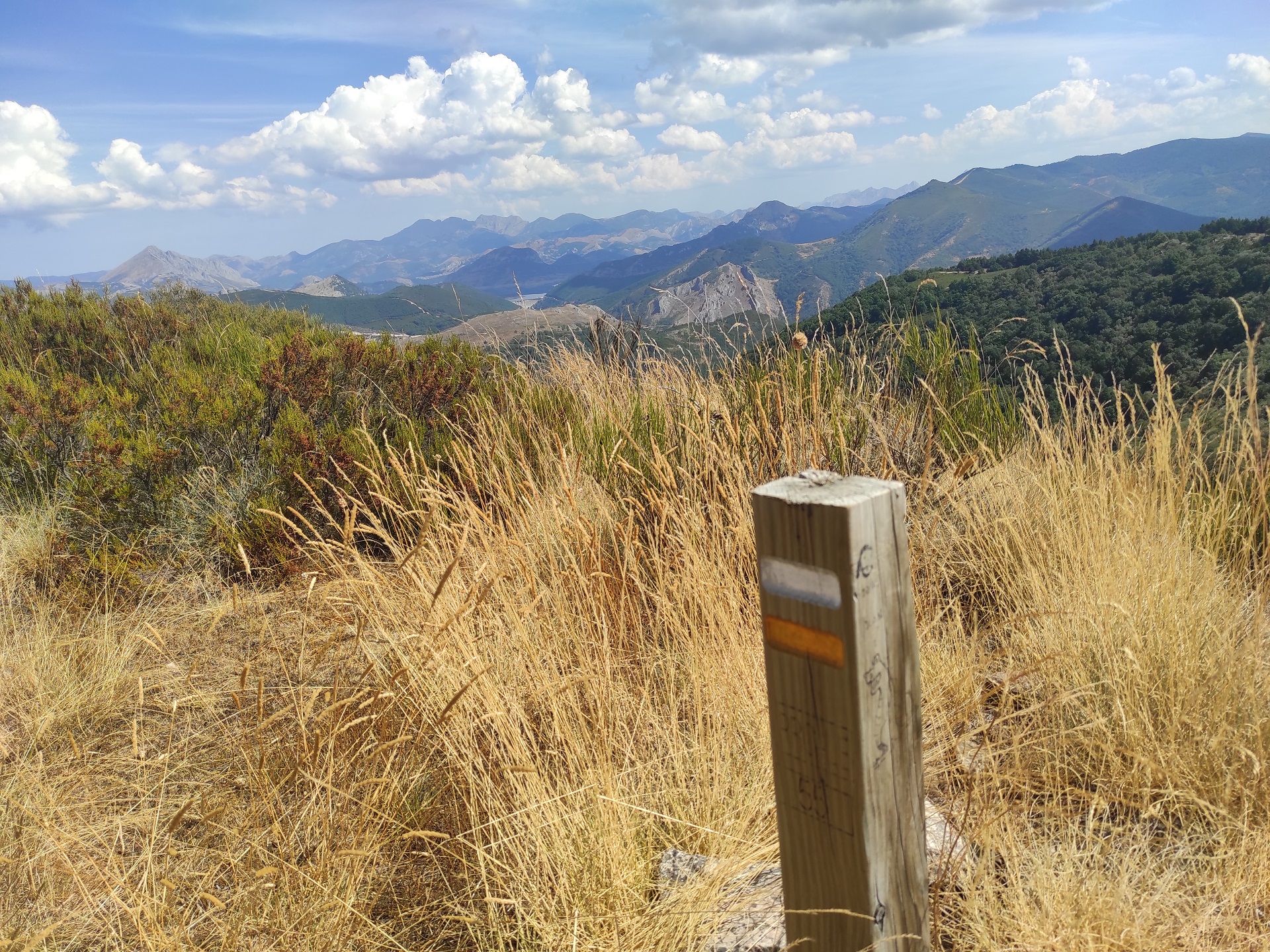
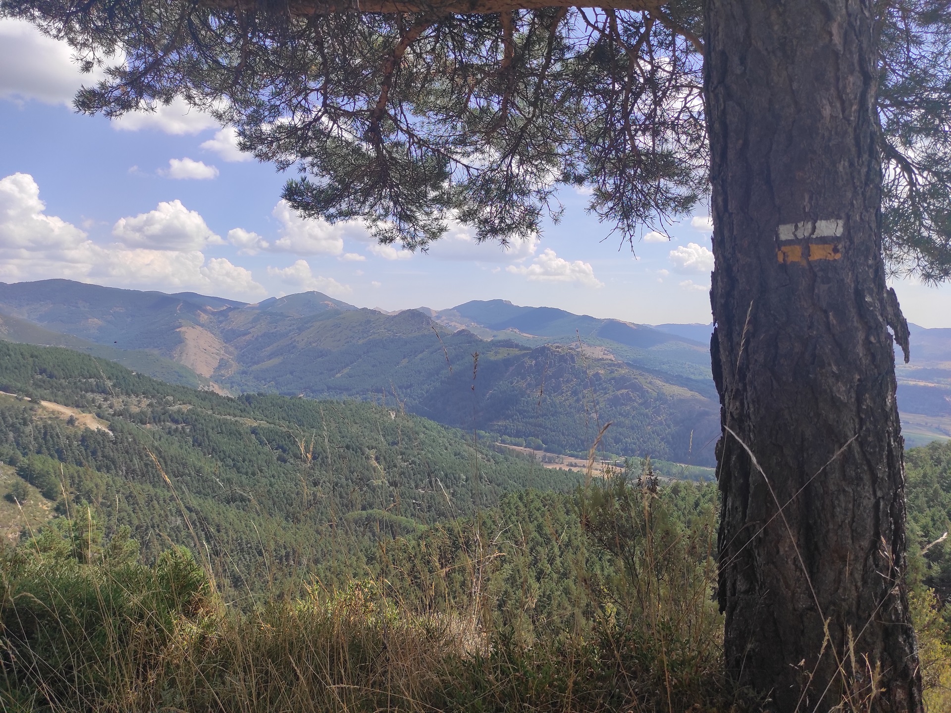
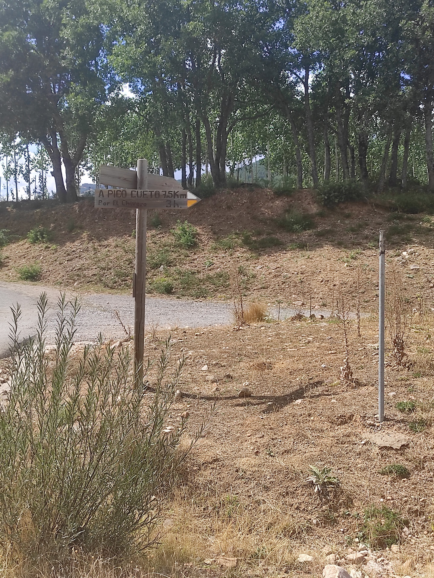
Following the trail, which has a steeper gradient, you will reach Pico Cueto, marking the end of the trail at an altitude of 1,613 metres and where a permanent fire watch tower is located. From here you can contemplate the clear difference between the mountain valleys and the riverside valleys, where the steep mountains give way to pastures and crops.
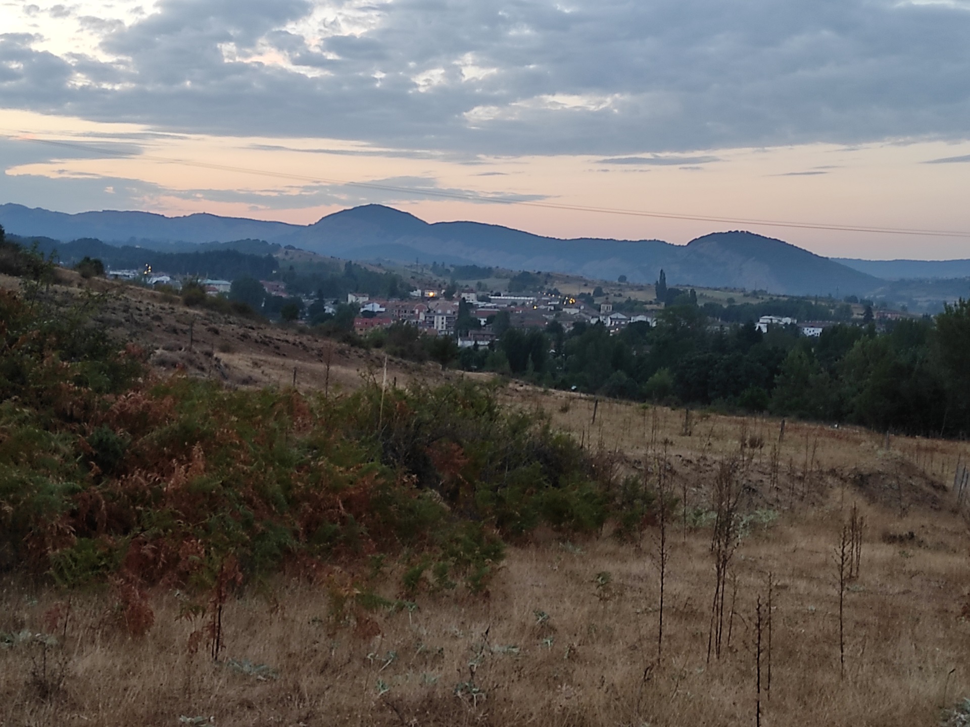
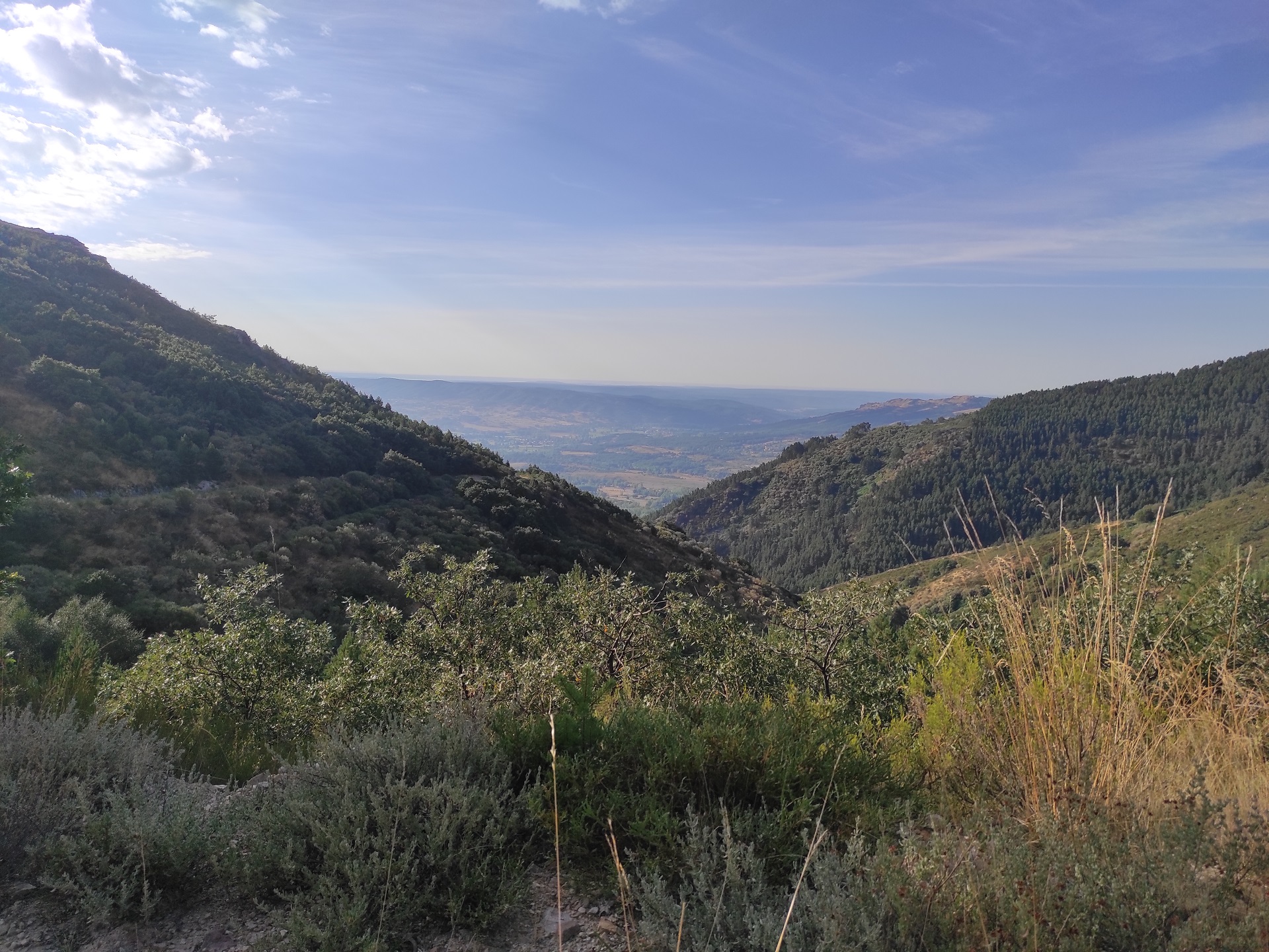
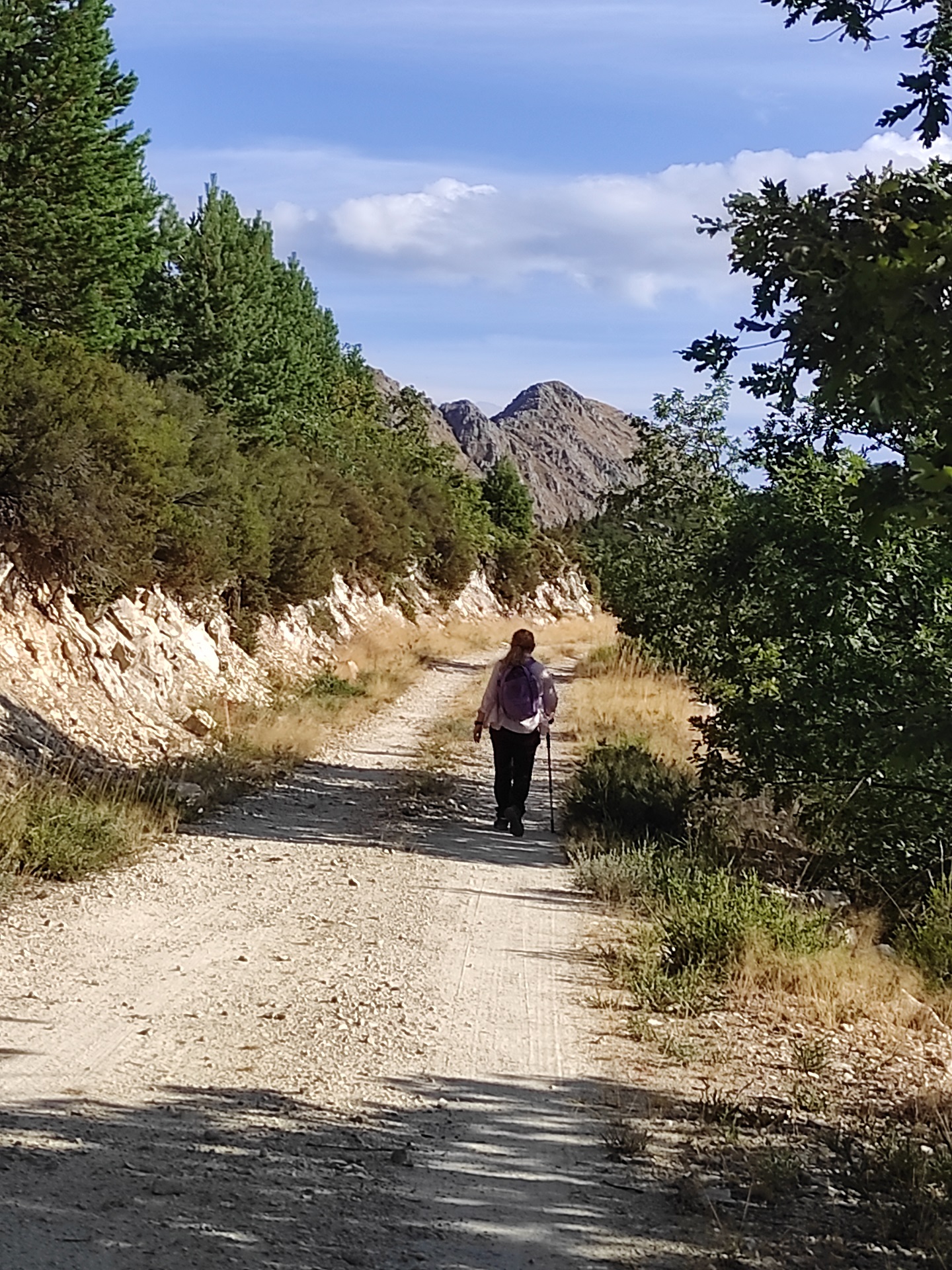
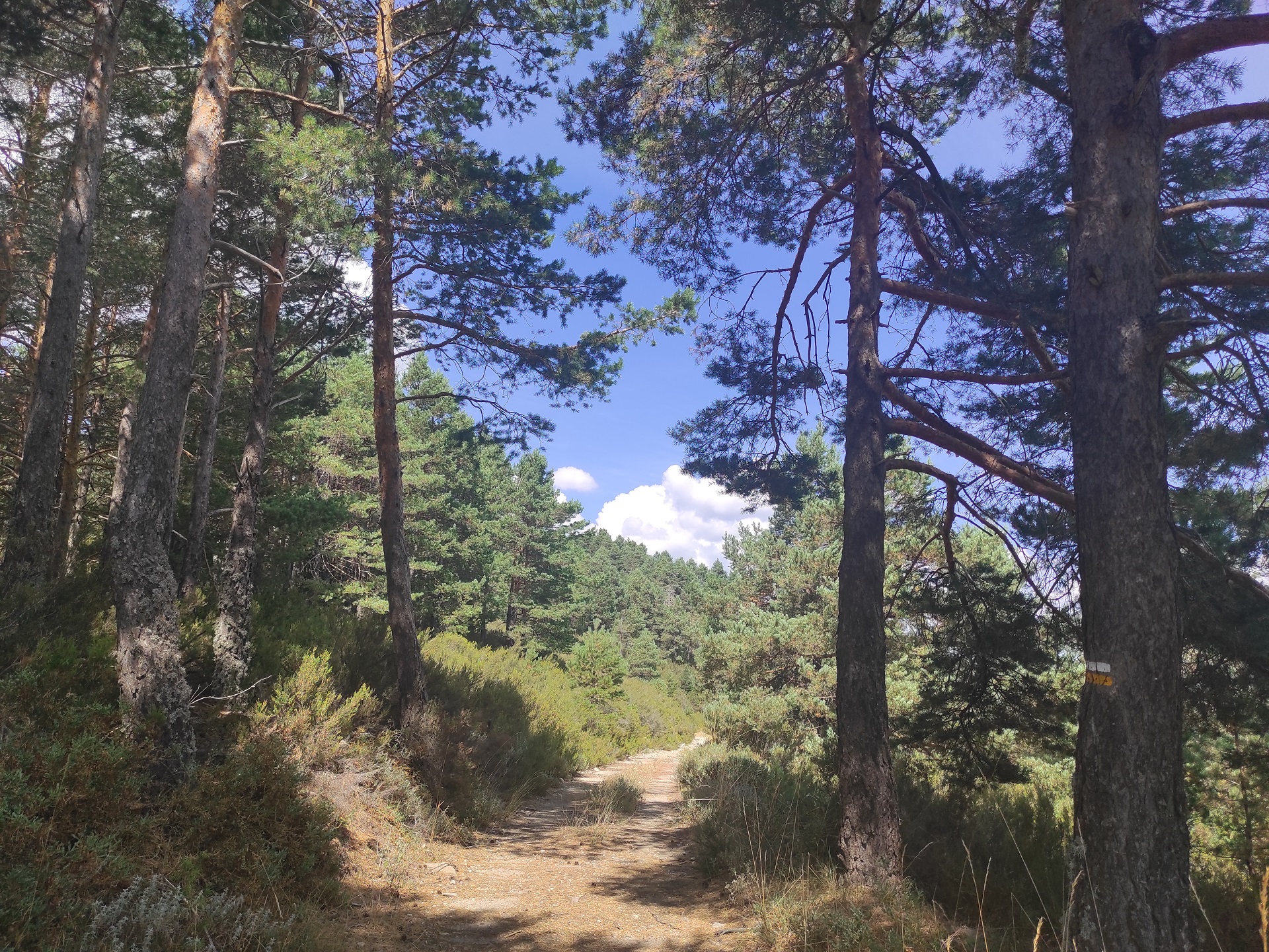
You will now start the descent towards Boñar and when you reach the slopes of Pico Muelas, turn left along a wide and gentle forest path, where you will see a young pine reforestation (or Lillo pine) planted a few years ago as a result of a fire that destroyed the south-facing slopes of this mountain.
As you lose altitude you will enter the mature pine forest again, take the path on your right and follow the Cueto stream along its narrow course, where you can observe a varied hardwood forest, such as oak, birch and rowan. This will take you to the base of Pico Cueto, which will lead you back to the Soto de Boñar.
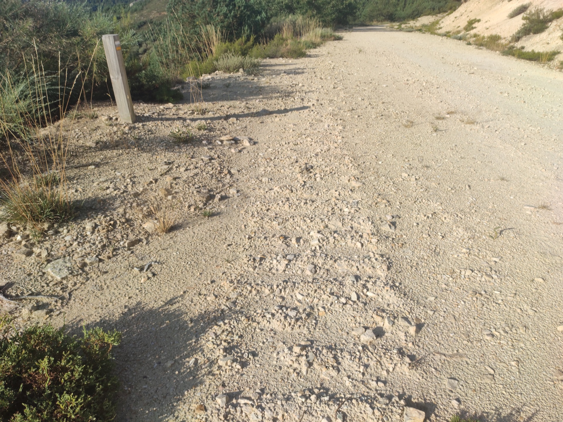
Photos of the trail


Videos of the trail
Water is the driving force of all nature.
Explore other great hiking trails here!!
PRC-LE 55
Ascensión a Pico Cueto
PRC LE-56
Por el Río Porma
PRC-LE 57
Las Ermitas
PRC-LE 58
Adrados to vozmediano
PRC-LE 59
Por Valdehuesa
SL-LE 1
Cascada de Foces
SL-LE 2
Cota del Campillo
SL-LE 3
Literary Hike – Rucayo to Utrero
SL-LE 4
La ermita de san pelayo
SL-LE 5
C. tradicional – Veneros a Llama
SL-LE 6
Ruta por el Pinar de Villares
Trail with Water
Trail with Water